Finding Binky and meters per arcminute of longitude
I hid Binky down deeper in the swale I had used last year. This year I used brown plastic shopping bags, which proved to be better camoflage down low in the paddle grass (Ischaemum polystachyum).


In the afternoon laboratory I would experiment and use the 30 m tape measure in lieu of the wheel. This made the 30 meters more clear, but it meant someone had to stay behind to bring up the other end of the tape. I had the reel on the west end, in retrospect the reel should have been east and the zero end west. That said, the other problem was that one person was left out of the data gathering, babysitting the zero end. Rotating end keepers helped.

Results compare favorably with the estimated 1842 meters per minute value for seven degrees north of the equator. The value is 39 meters low, only about 2% below the expected value.

Binky

The hide location at 6:30 in the morning

Some difference of location opinion for the GPS units.

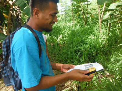
Pwisehn malek in the early morning sun

The swale

Brown bag Binky blended right into the brown understory

Starting location for the search for Binky

Gino heads off to the left, John on the right

Joemar and Shirley-Ann head sure-footed in the right direction at a good pace

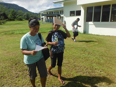
Sucy-ann, Neikaman, and Marmelyn consult the handout

Neika studies the GPS coordinates
Jason

Marsha

Mayleen compares the GPS to the coordinates on the handout

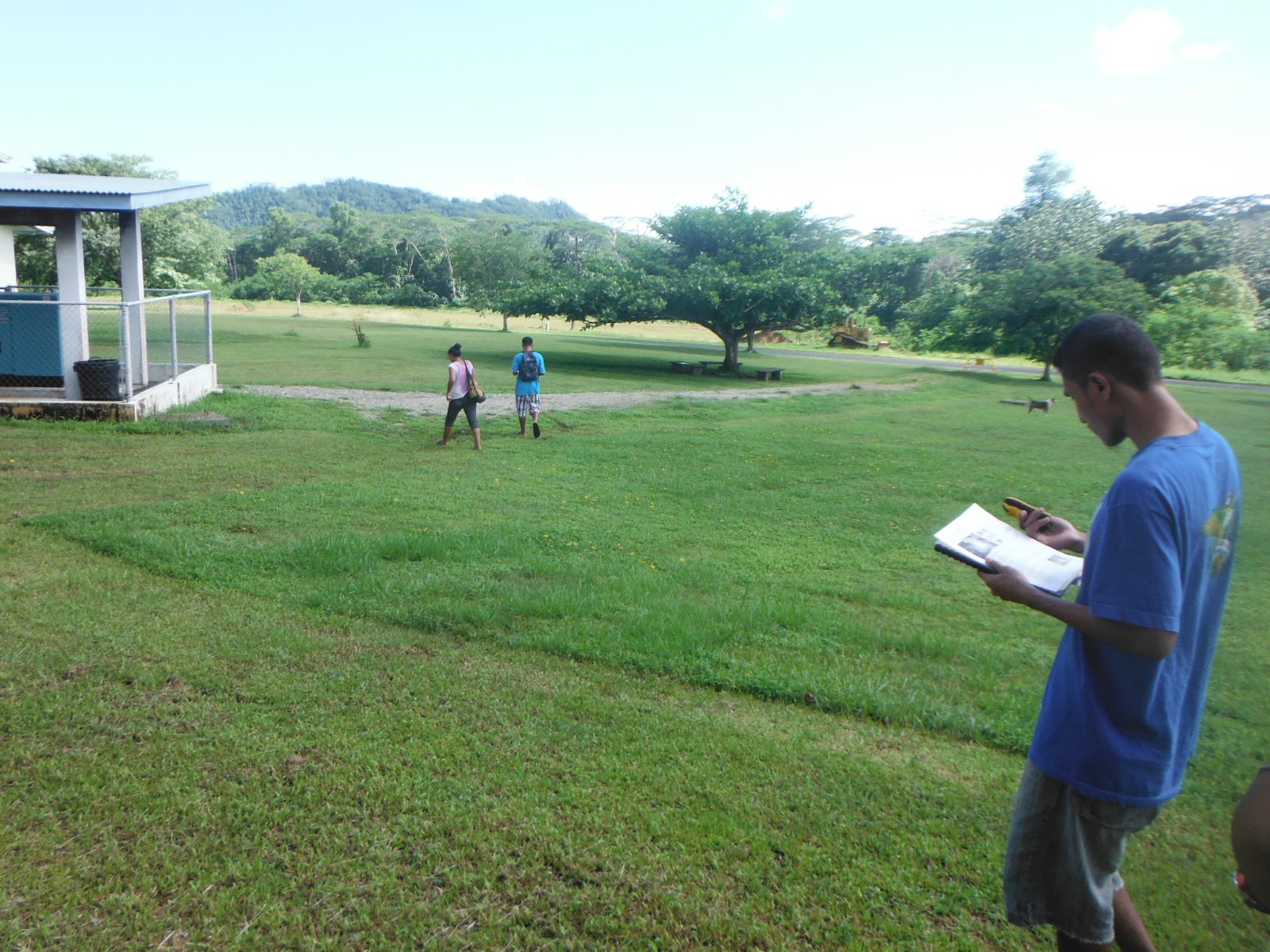
Heading west

Hansha and Mayleen

Hansha compares coordinates

Gino watching the longitude numbers roll down as he heads weast

Neikaman navigating for her group


A cat that would follow the group all the way to the hide

Cat

The cat headed west to find Binky

Joemar reaches the edge of the paddle grass sea and stops

The cat would go all the way

Neika, undeterred by the paddle grass


Marmelyn

Not children of the corn but rather physical science students deep in the paddle grass

The paddle grass is deep in the swale

At this point Mayleen and Hansha were effectively on top of my morning track, but they either were not looking for traces of track or did not know to look for track traces in paddle grass. Paddle grass stays bent for more than day where someone has walked and a good tracker could probably pick up a person's passage even two or three days later.

Neika forges ahead. She would be one of the first to reach the correct coordinates.

Gino and John coming from the west

Neika and Hansha. Hansha is very close to the Binky hide, but neither would ultimately find Binky.

Hansha and Mayleen

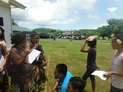
Much of the class converged on the coordinates. Binky is hidden in the grass off to the right.

At this point the class milled around. Only Joemar would realize that at this point the key would be to poke around in the understory.


Hansha and Mayleen


Results compare favorably with the estimated 1842 meters per minute value for seven degrees north of the equator. The value is 39 meters low, only about 2% below the expected value.


Comments
Post a Comment