Latitude and longitude
Although hide and seek had used smartphones to obtain GPS coordinates, for the laboratory I returned to using handheld GPS receivers.
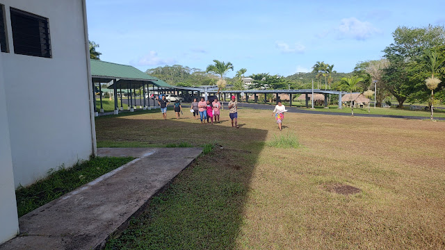
Sharla and Ashlen heading East
Jarret takes a reading at 30 meters
Ashlen takes a reading at 30 meters
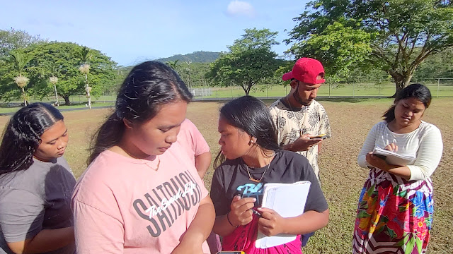
Serjean joined 8:00 on the left, Athina Viola on the right records data
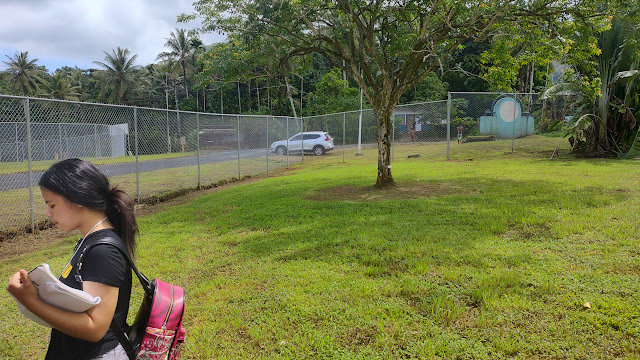
Taking a reading under the Terminalia catappa tree
The class hit the fence just shy of 180 meters, so I ran up the into the acute corner. This required a slight deviation north of due east.
Serjean records data in the corner
Sharla and Ashlen record their 180 meter data
The Tripltek running GPS Essentials located the corner at these coordinates
Billy, Milain, Shane, and Fiji get set up at the new North location
Ivan
Kaylem, Thevonna, Rizal, Harvey, Melina, Billy
Jenna, Fiji, and Ivan take longitude readings along the line of latitude.
The usually soft area of swampy mud is behind Billy.
The table didn't include conversions below 180 meters.
The data is from the 8:00 class except for the 176 meter mark which was from the 11:00 session. 176 works well too, and the data is sufficient to establish a linear relationship. Walking back to E 158° 09.500' has its downsides too. The loss of being able to reach 0.100 arcminutes may have a negative impact, but again this term I focused on:
- Is there a mathematical relationship between arcminutes and meters?
- Is that relationship linear?
- If linear, then the slope is a conversion factor between arcminutes and meters.
- The conversion factor can then tell us how close to a location the last decimal place can put one (setting aside error in the GPS reading).
I again did not try to extrapolate to the circumference of the Earth because I wanted to keep the focus on the ability of GPS to very precisely locate a position on the planet. This ties the lab back into the Wednesday hide and seek. The boards were not captured this term but were arranged along the lines of last term.
Post-script: the boards were not erased as of Friday:


Comments
Post a Comment